Services
Reality Capture
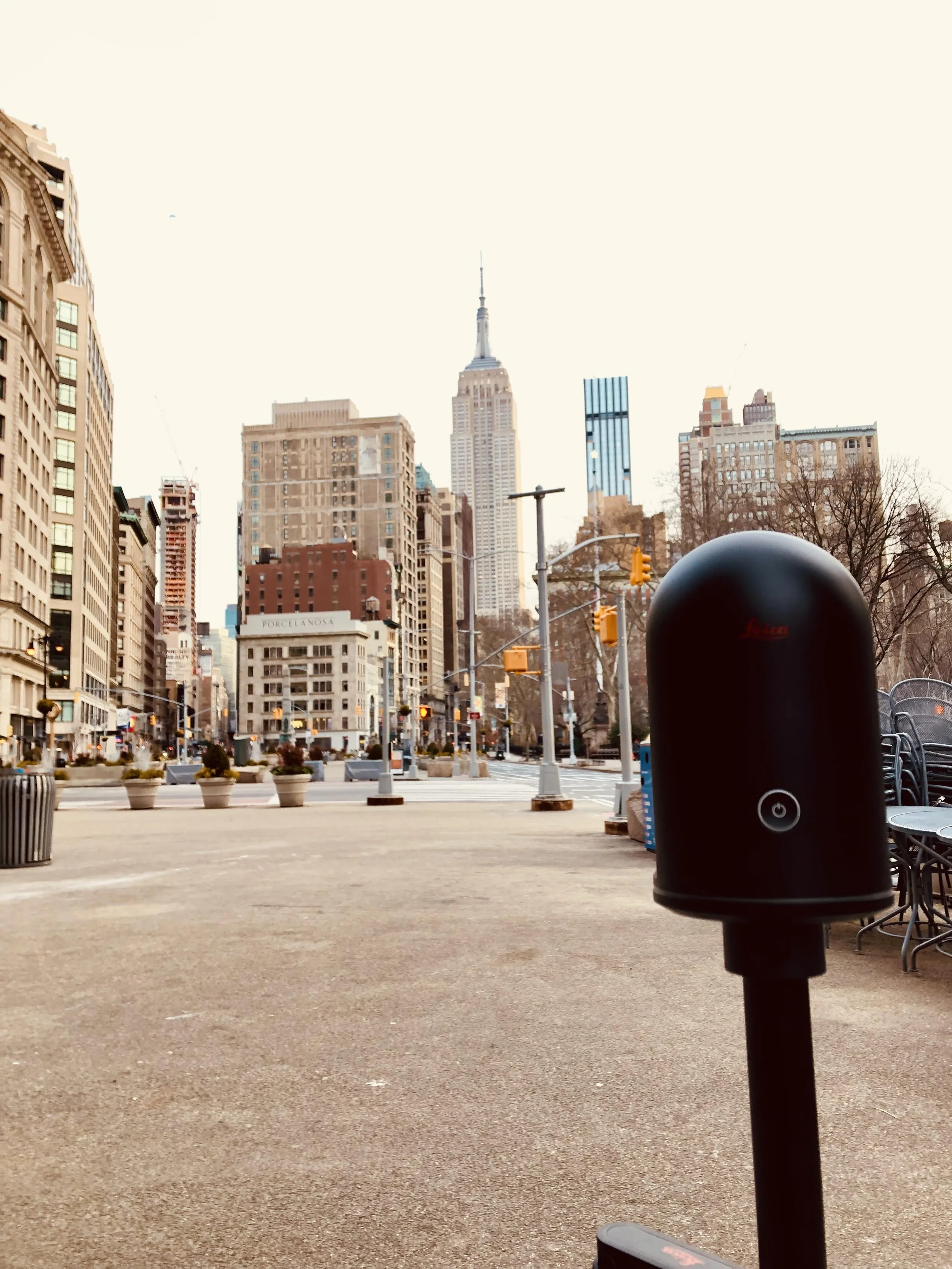
Laser Scanning
Our team works interchangeably with Leica and NavVis equipment depending on the task. Combining LiDAR and SLAM technologies provides the accuracy and scalability as required. Servicing all industries and sectors, previous projects have ranged between 500 to 20M square feet.
Photogrammetry
High fidelity optics and algorithms allow us to digitize space pixel by pixel. With both terrestrial and aerial capabilities we can capture both intricate details and mass volumetric studies. Primarily serving the conservation and asset cataloging sectors.
Staff Augmentation
Temporary Contractors
Short term contracts to allow us to work alongside your team and contribute to your goals through time and effort based arrangement to allow for better financial optimization and flexibility.
Model Authoring
SCAN TO BIM
Using the point clouds from our scanning process, we generate intelligent models built to spec. Typically using Revit, we create a building information model starting with a base existing conditions model through to predictive and connected digital twins. We provide a solution to all sectors and customize to suit.
SCAN TO CAD
This service is in reality a Scan to BIM to CAD process which ensures the accuracy of our 2D outputs. Multiple formats available and adaptable to suit client internal drawings standards.
Library development
Digitizing furniture, fixtures, equipment and more with built in parametric flexibility and data rich models ready for scheduling and cataloguing. Built on spec based on the end user requirements, perfectly paired for digital twin optimization.
Template Development
Start from scratch or further enhance existing Revit templates to dial in on internal workflows.
Asset Tagging
Combining point cloud and photographic information generated from the initial survey, the digital twin is enhanced through identifying, creating and tagging assets.
Equipment + Software
Depending on the project, we deploy the technology combination that best suits the scope.